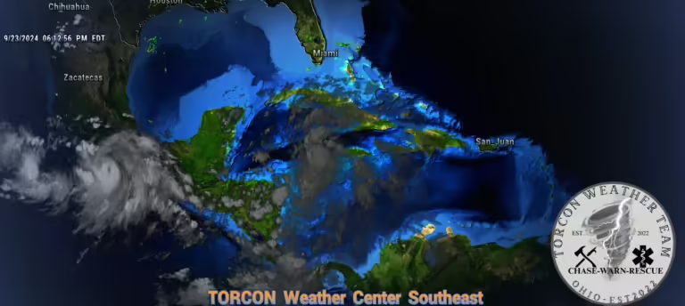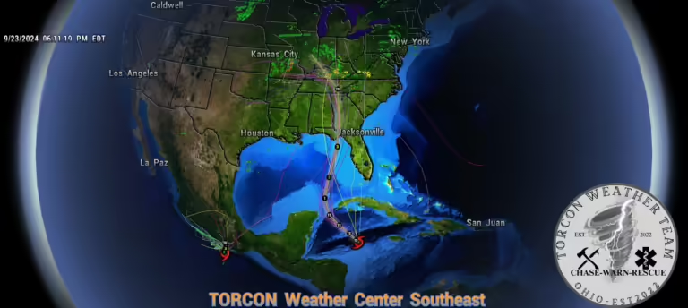
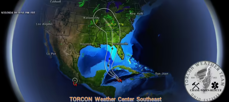
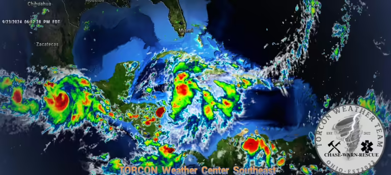
Tropical Depression Nine, soon to be named Helene, is rapidly intensifying in the Caribbean and poses a significant threat of becoming a major hurricane as it approaches the Florida Panhandle. Forecasters are warning of a potential Category 3 landfall, prompting Florida to declare a state of emergency for many coastal counties.Unlike previous storms that made landfall over Cuba or Puerto Rico, Helene is expected to remain over open waters until reaching the Gulf Coast. This will allow the storm to intensify rapidly, fueled by the warm waters of the Gulf. Historical precedents like Hurricanes Ike and Irma suggest that Helene could maintain hurricane-force winds well into the mainland United States.Latest Information on the system: From Forecaster Cpl. Timothy HayesTropical Depression Nine has since been upgraded to Tropical Storm Helene. The storm is expected to continue strengthening and could become a hurricane as it moves into the Gulf of Mexico. The National Hurricane Center (NHC) has issued tropical storm warnings and hurricane watches for parts of Mexico and Cuba. Here’s a summary of the latest information on this system:
- Current status: Tropical Storm Helene
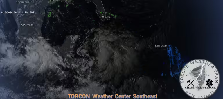
- Location: About 130 miles south-southwest of Grand Cayman and 350 miles south-southeast of the western tip of Cuba
- Maximum sustained winds: 30 mph
- Movement: North at 6 mph
- Forecast: Expected to strengthen over the next few days and become a hurricane.
Potential impacts:
- Heavy rain: The storm is expected to bring heavy rain to portions of the western Caribbean, which could lead to flooding and mudslides.
- Strong winds: Tropical storm force winds are possible in parts of Mexico and Cuba.
- Storm surge: There is a potential for a dangerous and life-threatening storm surge along the Florida Panhandle and the west coast of Florida.
- Severe Winds: Strong winds could cause widespread damage to structures, trees, and power lines.
What to do:
- Stay informed: Monitor updates from the National Hurricane Center and local weather authorities.
- Have a plan: Make sure you have a hurricane plan in place and know what to do in case of a storm.
- Prepare your home: Take steps to protect your home from damage, such as securing outdoor objects and bringing in pets.
- Charge your devices: Make sure that all your devices and cell phones are fully charged. If possible, purchase a backup battery bank. You can find multiple different sizes of portable power banks that you can charge you phones, flashlights and a multitude of other needed devices on Amazon. We recommend the larger ones even though they can cost between $100-$400 dollars they are well worth it and come in handy if power is out for days. You can also purchase small credit card size charging banks that are good for a single charge on your phone. Having a phone that is charged could mean the difference in life or death.
Stay Informed: The TORCON Weather Team is closely monitoring this developing storm and will provide regular updates, including alerts, advisories, and important information. Follow our social media pages, The TORCON WX Team and the TORCON Weather Team Southeast region, for live updates, bulletins, and real-time severe weather alerts. About TORCON Weather: TORCON Weather is the world’s largest private weather and storm-chasing organization. Our dedicated team of forecasters, meteorologists, and weather professionals is committed to providing accurate and timely weather information to keep you safe. We monitor severe weather 24/7, 365 days a year, and our mission is to save lives through early warnings and public education.
Stay safe and stay informed.
Written By: Cpl. Timothy Hayes, Lead Forecaster, TORCON Weather Team Southeast Region (TWTSER)
